Status: In Stock
Product Highlights
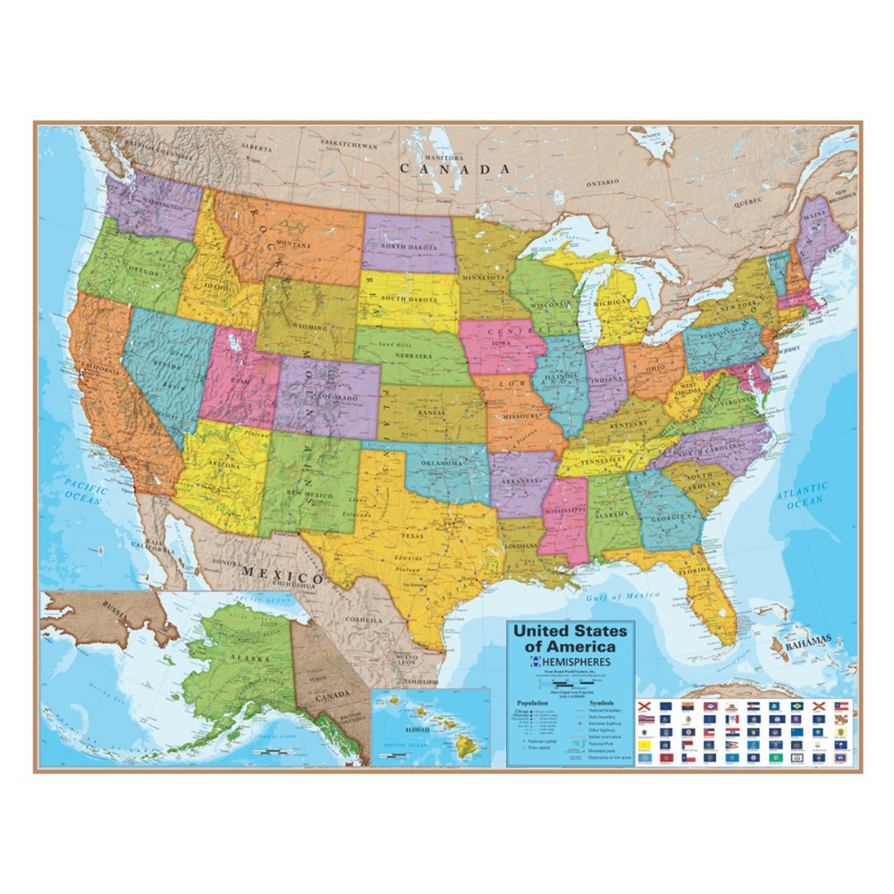
- Full-color laminated map makes a great addition for any classroom or child care center.
- Map shows state boundaries, topography, interstates, and major cities in the United States.
- Measures 45.25"W x 37.5"H.
About This Product
This full-color laminated map shows state boundaries, topography, interstates, and major cities in the United States. Measures 45.25"W x 37.5"H.
Features
- Full-color laminated map makes a great addition for any classroom or child care center.
- Map shows state boundaries, topography, interstates, and major cities in the United States.
- Measures 45.25"W x 37.5"H.